
10 CLOUD TYPES
A single cloud is a rare occurrence in the sky, it can be difficult to say exactly what type of cloud it is. There are nevertheless ten main categories of clouds, plus many sub-categories and variations. Clouds are classified according to the same method as are plants and animals.
Cloud types are categorised according to their appearance and location in the atmosphere. Meteorologists use three altitudes: low (0–2,000 metres), middle (2,000–7,000 metres) and high (5,000–13,000 metres). In polar and tropical regions, the altitude levels are a bit different.
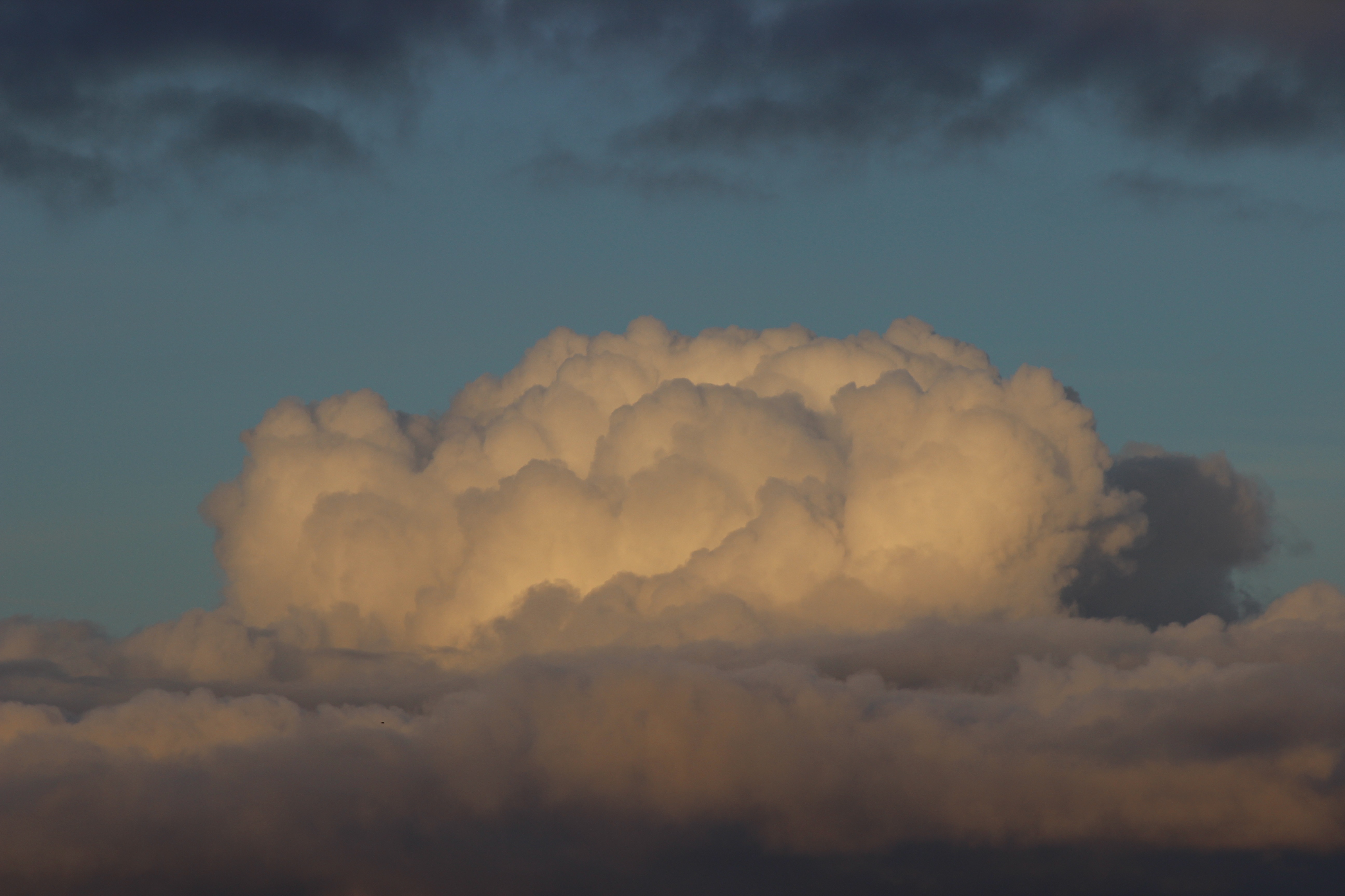
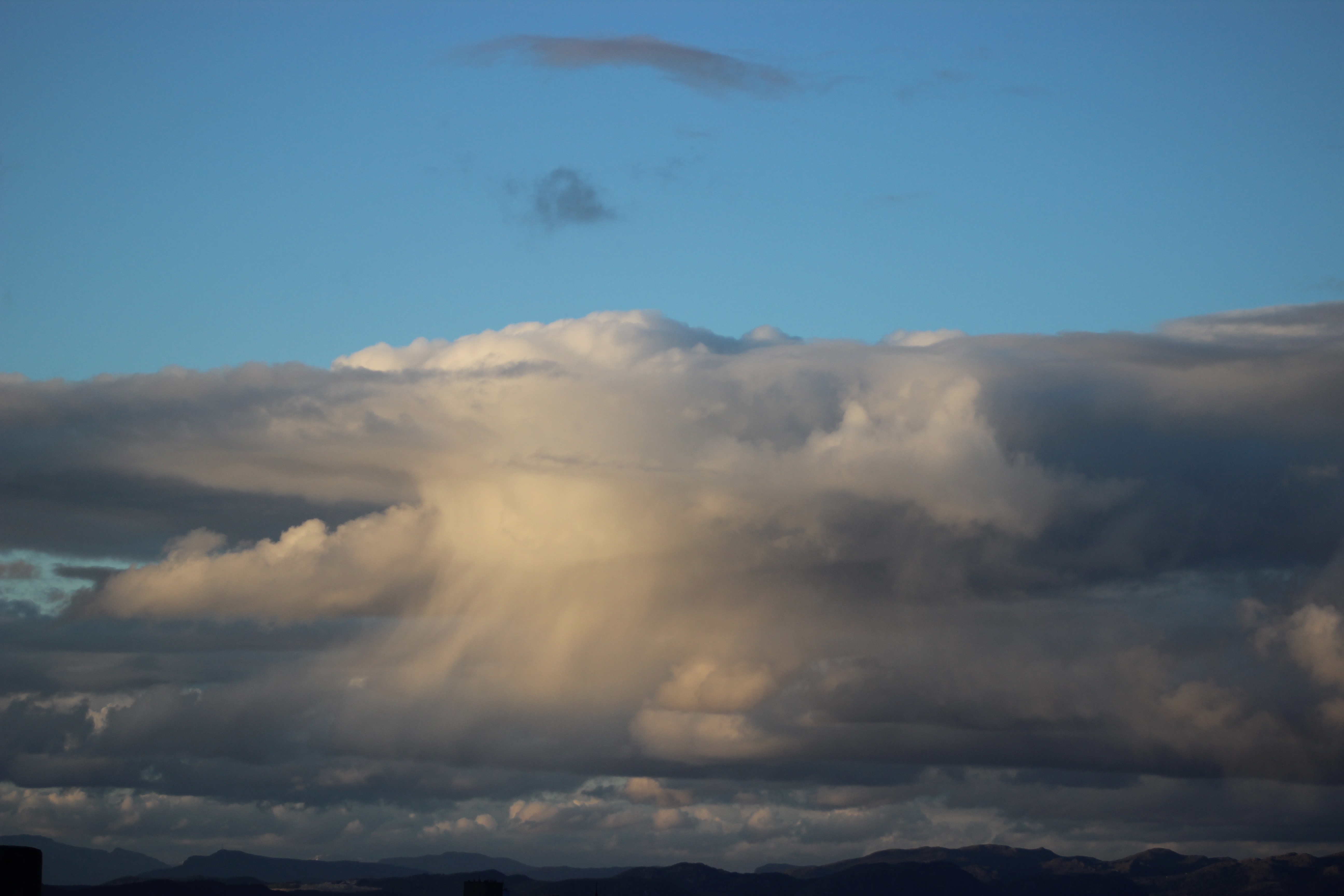
Some clouds exist within only one altitude, while others can move between several altitudes. The thunder cloud (cumulonimbus) is the highest cloud and can extend through all the three levels. In Norway’s latitude, this type of cloud can be 14,000 metres tall, while in tropical regions it can rise to 20,000 metres.
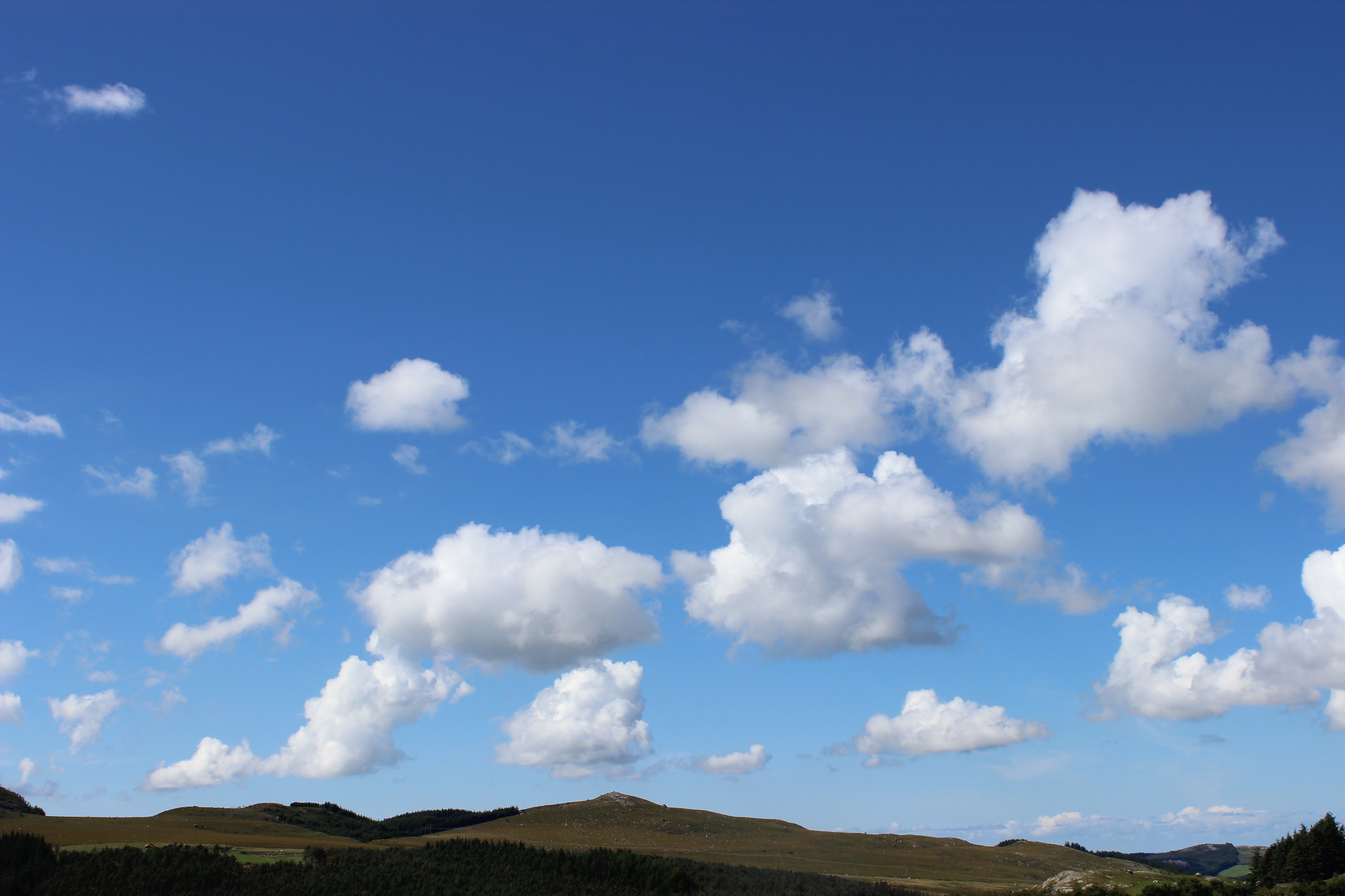
Cumulus clouds form near the ground and rise with the temperature. On good-weather days they break apart at a higher altitude.
The top of a cumulus cloud often looks like cauliflower.
This Cumulonimbus cloud caused a powerful downpour on 28 May 2019. It was observed at 9:58 pm, from Våland in Stavanger,looking towards Tau.
Fluctus clouds and Kelvin-Helmholtz clouds are very rare. The wind forms a wave-like pattern on the top of the clouds. The pattern can occur on several types of cloud: Cumulus, Stratuscumulus, Stratus, Altocumulus and Cirrus. These were observed over Stavanger in November 2018.
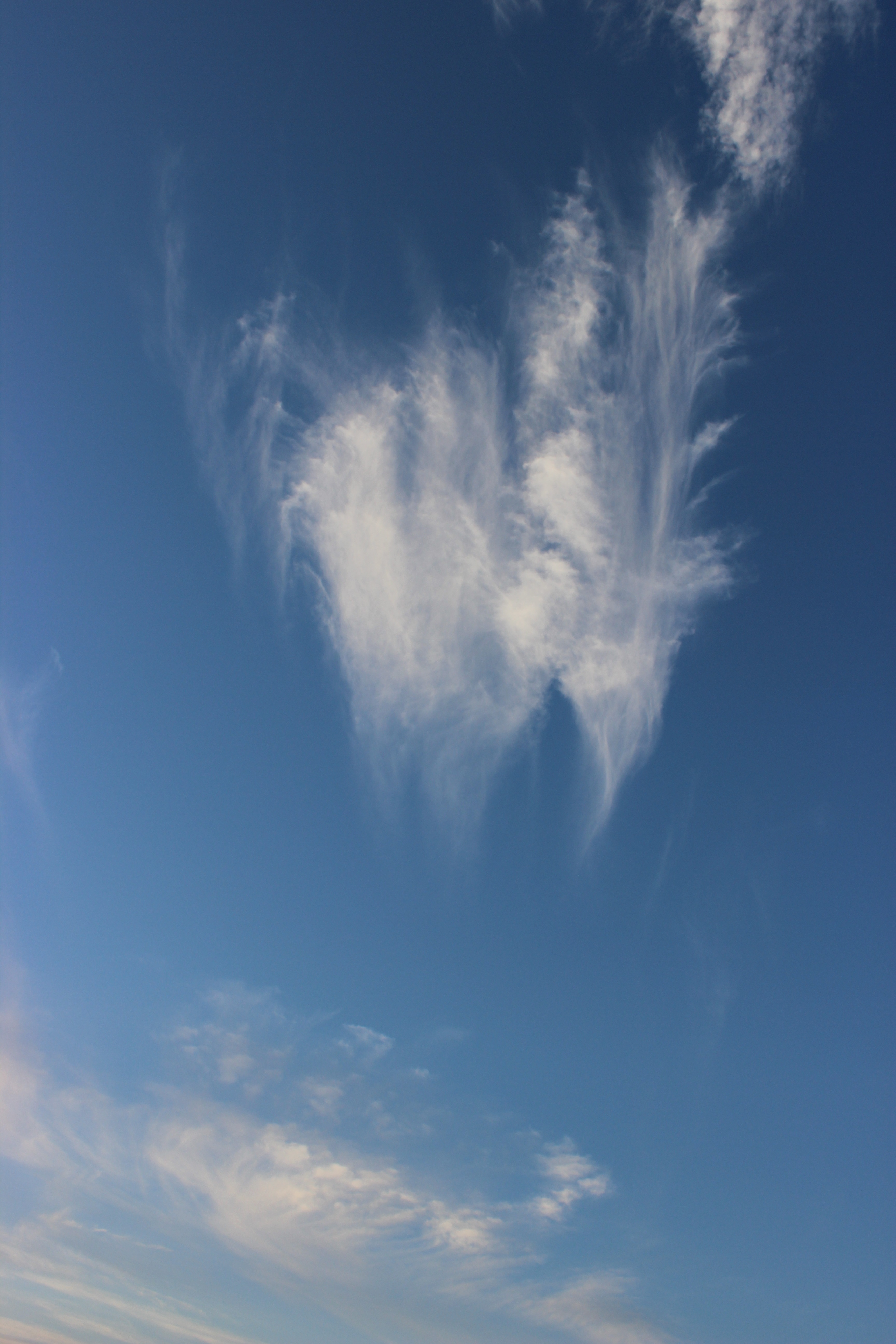
Cirrus clouds may look like feathers. They form at an altitude between 6 and 12 km above the Earth’s surface and consist of ice crystals.